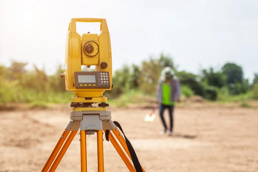
A land survey involves marking the boundary of a property and ensuring that the land is suited for any residential or commercial building to be done on the property. There are different variations of land surveys depending on what the survey is being used for. Here are four types of land surveys and how they are used.
1. ALTA Survey
An ALTA, or American Land Title Association, survey is typically completed prior to purchasing a home or commercial property. These are often required before the purchaser can be issued title insurance. Due to this requirement, an ALTA survey may also be called a mortgage survey.
2. Topographic Survey
As one of the types of boundary and topographic surveys in my area, topographic surveys assess the elevation and other features of a property, such as lakes, rivers, trees, and houses. The main people who use this type of survey are architects and engineers when planning a project and looking for ways to improve a site.
3. Subdivision Survey
A subdivision survey is done when a large plot of land needs to be divided into many individual lots for a subdivision. A subdivision survey is often completed prior to a topographic survey and is a requirement when dividing land into smaller parcels. The subdivision survey must then be filed to the office that keeps land records.
4. Boundary Survey
A boundary survey determines the exact property lines of a land parcel. A boundary survey may be completed when there is a legal dispute about property boundaries or if someone needs to know the exact boundaries for their personal records. A location survey is often used alongside a boundary survey in order to show any site improvements and so that property owners can receive a zoning permit.
If you own property, you are likely to need one or more of these land surveys.
